


Regular price
$5,159.00 USD
Sale price
$5,159.00 USD
Regular price
No smart phone needed, ready to fly, 36 mins flight time, auto takeoff & land!
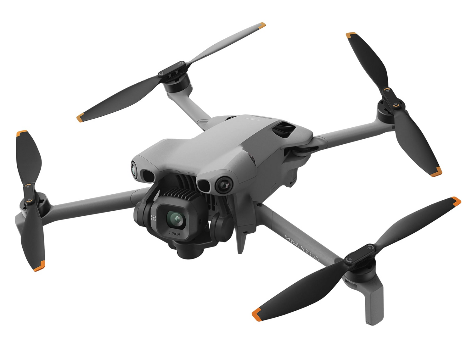

The DJI Matrice 4E brings next-generation mapping and data-collection capability to the farm. Built on DJI’s newest enterprise platform, the M4E delivers exceptional flight endurance, high-precision imaging, and ultra-efficient mission automation — making it an ideal tool for crop scouting, stand counts, field mapping, and infrastructure inspection around the farm.
With up to 49 minutes of flight time, 5-direction imaging, RTK precision, and a mechanical shutter, the Matrice 4E captures clean, accurate data for powerful analysis and decision-making.
Designed to simplify advanced mapping, the M4E allows you to plan missions and generate 3D routes directly on the RC Plus controller — no laptop required.
“These new Matrice drones represent a major leap forward for agriculture. Yes, they’re a bigger investment than systems we’ve flown in the past — but the data quality, accuracy, and capability are on an entirely different level. When you see the efficiency and the decisions these tools unlock on the farm, the value speaks for itself.”
— Corey Jacobs, Co-Founder, FlyingAg
49-minute max flight time to cover more acres per battery
5-direction oblique imaging for high-detail 2D & 3D maps
Mechanical shutter + RTK for survey-grade accuracy
0.5-second capture interval for fast, large-area missions
Distortion Correction 2.0 for clean, uniform photogrammetry results
Factory-calibrated imaging system for consistent accuracy
Omnidirectional obstacle avoidance for safe operation
Mission planning onboard the RC Plus — field-ready, no laptop needed
Agriculture
Stand counts & crop emergence evaluation
Field scouting & crop health mapping
Tile & drainage mapping
Structure inspection — bins, buildings, pivots, solar
Surveying & 3D Mapping
Topography & terrain modeling
Urban & rural asset documentation
Digital twins and site modeling
Infrastructure
Powerline, pipeline, and bridge inspections
Farm & facility inspection and documentation
The M4E’s mechanical shutter, high-resolution imaging, and RTK positioning make it an excellent tool for precise emergence and stand counts. Simply fly the field and process with compatible stand-count software for fast, decision-driven insights.
Fully integrated with DroneDeploy for ag maps, stand counts, and analytics
Supports major photogrammetry platforms
Lightweight, portable, and enterprise-reliable — the Matrice 4E pushes what's possible in field-mapping and ag data capture.
Fly more acres. Capture cleaner data. Make smarter decisions faster.
What’s Included in the drone only option:
✅ Fully configured & test-flown before shipping
✅ Latest firmware installed
✅ Ready-to-fly field setup
✅ Backed by real farmers with 10+ years of ag drone experience
The FlyingAg M4E Kit brings enterprise-grade accuracy and real-world farm usability into one dependable system — ready to help you map, scout, and make decisions with confidence.

4/3 CMOS, 20MP Effective Pixels , f/2.8-f/11, Format Equivalent: 24 mm, Mechanical Shutter
1/1.3″ CMOS, 48MP Effective Pixels, f/2.8, Format Equivalent: 70 mm
1/1.5″ CMOS, 48MP Effective Pixels, f/2.8, Format Equivalent: 168 mm
Measurement Range: 1800 m (1 Hz); Oblique Incidence Range (1:5 Oblique Distance): 600 m (1 Hz) Blind Zone: 1 m; Range Accuracy (m): ± (0.2 + 0.0015 × D)
Your cart is empty