
QUANTIX™ MAPPER
Scroll down for addition information and recent updates 7/23/2021
Link to additional maintenance from AeroVironment
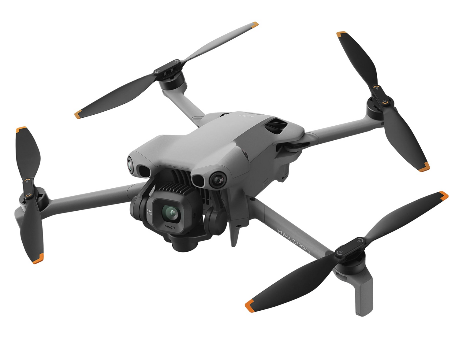
FlyingAg is thrilled to announce our exclusive cooperation with AeroVironment to sell Quantix Mapper hybrid VTOL drone and Quantix-related parts & accessories. Learn more about this quick and simple mapping solution below.
Quantix is a powerfully simple to use UAV empowering users through its fully-automated operation and instant insight. Its hybrid design allows the aircraft to launch vertically and transition to horizontal flight; maximizing aerodynamic efficiency and range. Users can immediately view high resolution imagery on the included Operating Tablet – no other devices, internet or additional software required. With the touch of a button, users can quickly and safely generate up to date maps for in-field assessment. Whether assessing crop growth during key stages, or damage from storm, flood and fire, Quantix Mapper makes It easy to gather accurate images across a large area, assess and react to situation with precision and speed.


Creating a NEW Collection Area:
- Power on the Quantix Tablet and launch the Quantix App.

- (Collection Area List) Push Add New Collection Area.

- (New Collection Area) Enter a name for your new collection area in the NAME field.

A default name will be populated for you if you do not enter one. You may change the collection area name at any time.
- (New Collection Area) Enter a Latitude/Longitude, City/Street, or Zip Code in the Search box to navigate the map to the area where your new collection area will be.

-
You may use your fingers to pan, zoom in, and zoom out on the map to navigate.
- (New Collection Area) Push CREATE to enable the map draw capability.

- (New Collection Area) Click on the map to draw an outline of your collection area.
Collection areas can be up to 400 acres.
-
(New Collection Area) Push FINISH, or click on the first point to complete the shape.

Click here to see a brief video demonstration of drawing a new collection area.
 The Quantix Flight Planner has been tested on a variety of shapes and there are an infinite number of different field shapes that you can draw.
In general, your collection area should be:
- A closed polygon with no "holes"
- Fewer than 100 points or corners.
- As simple as possible to perform.
The examples below will help you select a reliable shape for the Quantix Flight Planner.
- Recommended Shapes

-
Not Recommended Shapes

To ensure the highest quality product, draw your collection area with an additional 50-100 foot buffer around the location that you are interested in.
This allows software programs to more accurately stitch the area of interest, as the edges of a completed stitch tend to warp.


Magnetometer Calibration
Before you start the calibration, make sure the following good practices are observed:
- Do not perform a calibration indoors or within 10 feet of a building.
- Do not perform a calibration within 15 feet of a vehicle.
- Empty your pockets of all electronics (phones, watches, etc.), large metallic objects (knives, etc.), and magnetic objects.
- Keys and metal objects of similar size are okay if kept away from the aircraft.
- Be sure to place removed items at least 5–10 feet away from the calibration location.